Well here it is the weekend before the Holiday madness starts and two days before it actually becomes winter! For those of you interested that will be on Sunday at 1503 hrs PST and after that the days will start getting longer. A perfect excuse to have a Solstice Party while getting ready to celebrate the Seahawk win over the Cardinals.


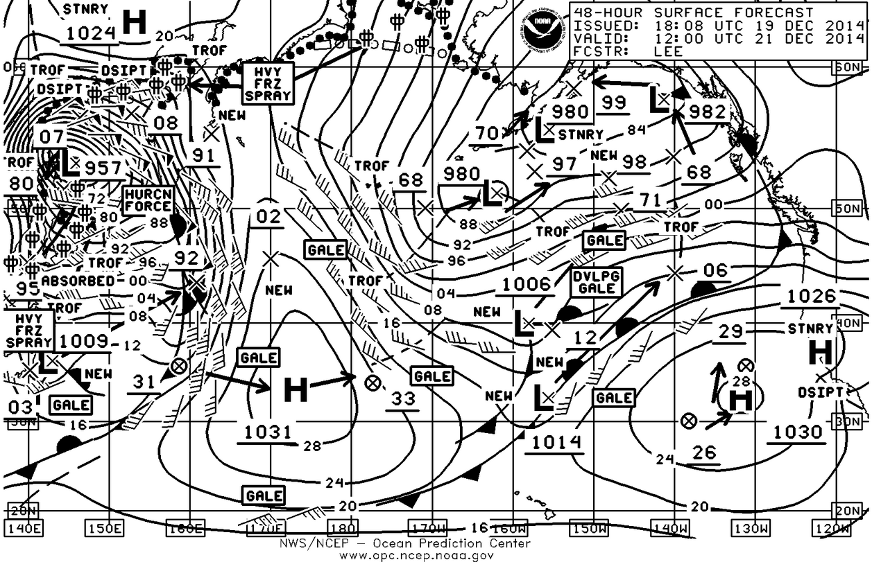
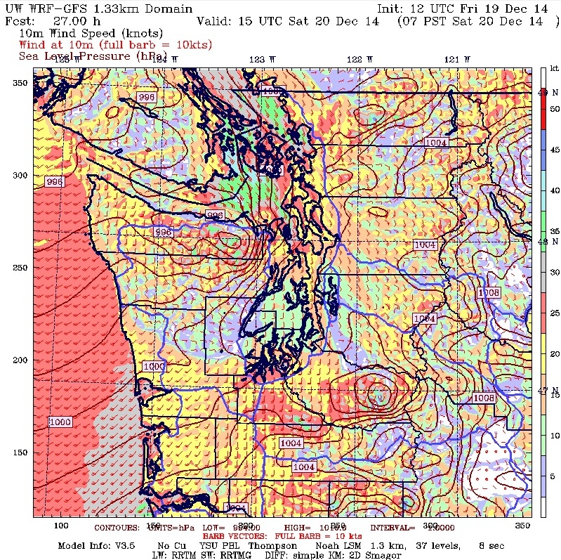
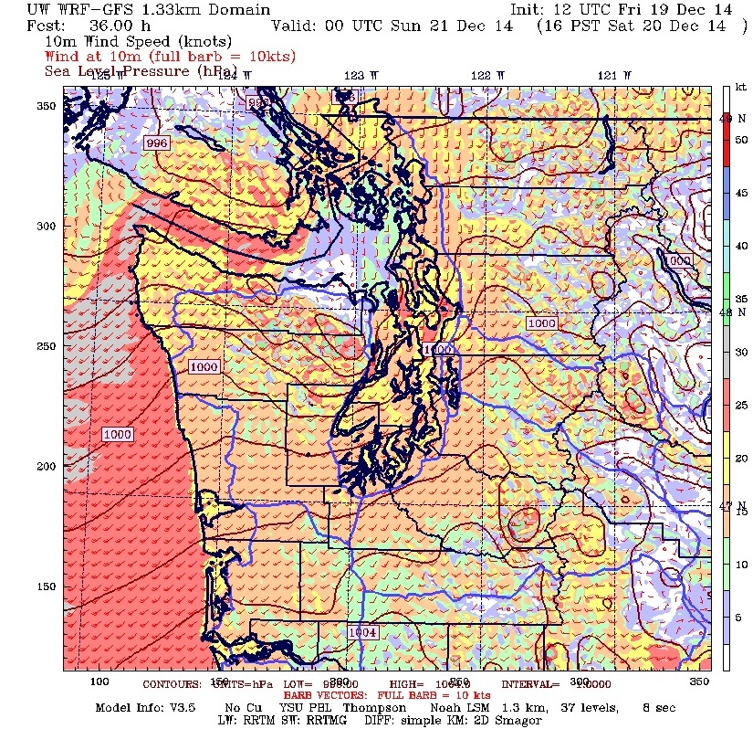
For the weekend it looks like it’s going to be a typically wet and windy couple of days, just look at the surface charts and as you can see not much has changed from last week with the North Pacific looking very active and some monster lows still lurking out there. The wettest and windiest day will probably be Saturday especially Saturday morning so do the indoor projects then. The big breeze will be along the coast, at the Eastern end of the Straits, San Juan Islands and into the lower end of the Strait of Georgia. Don’t be surprised with finding Gale Warnings being displayed for those areas.
Once again it’s that 48 hour (Sunday morning) chart that is the most interesting as it shows the gradient easing over the Northwest with another front just offshore. The other really interesting feature is that 957 mb low off of Eastern Russia and poised to move across the Pacific. That is a deep low and being very round it is going to go where it wants to.
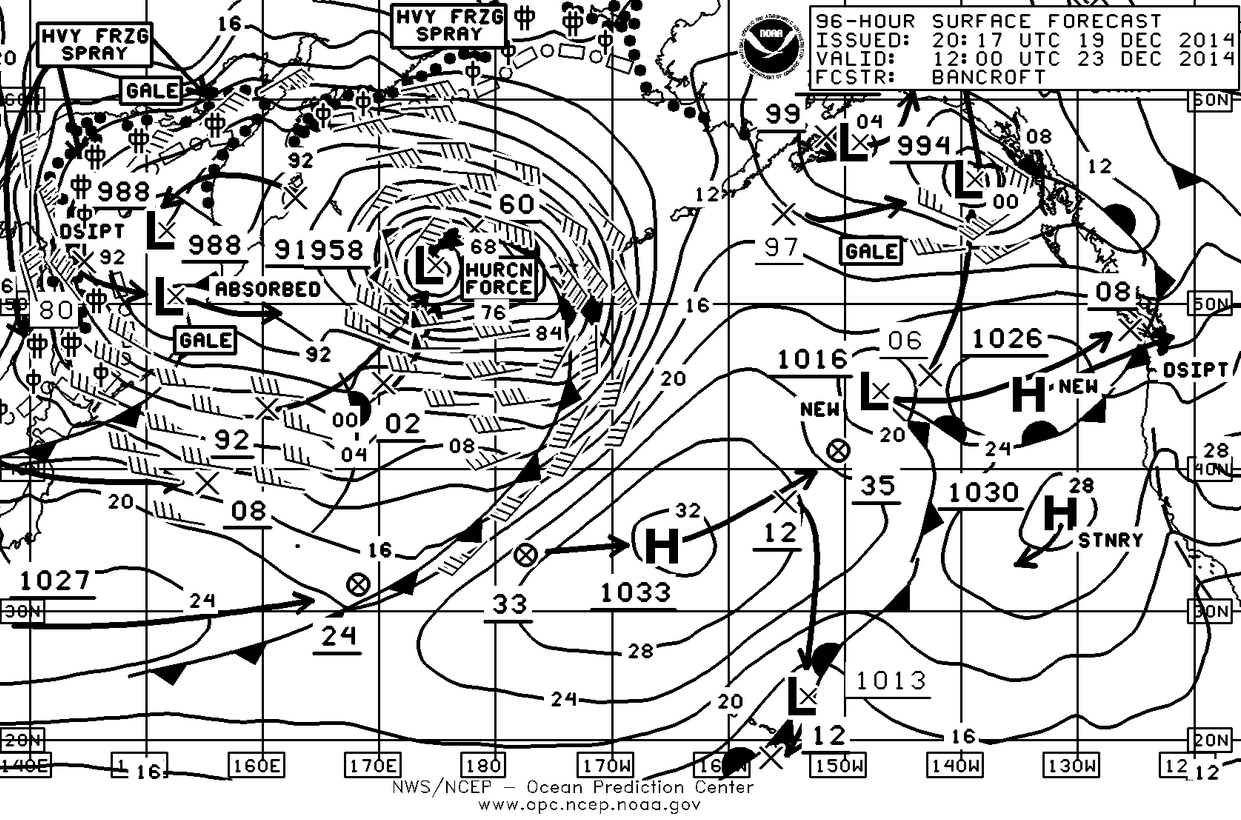
By Tuesday that monster low has weakened slightly to 960mb and moved to the central Pacific. It will probably move in an east-northeasterly direction sparing the Pacific Northwest a direct hit but we are still going to feel its effects. Note that the cold front associated with this low extends from about 53°N down to 25°N in other words from the Aleutian’s to almost Hawaii.
That brings up the other point and that is we will have the highest tides of the year (13+-feet in Seattle vs a mhhw of 11.35-feet) starting this coming Wednesday and going through next Sunday so in conjunction with the arrival of this front , things could get interesting. Tye good news is that the highest tides will be in the daylight hours with the high on Wednesday being at around 0700 and the high on Sunday being at around 0900.
As far as rain goes, as of this morning we’ve had 2.24” for the month compared with an average on this date of 3.19”. So less than inch behind with the strong possibility that we’ll easily make that up. Year to date we’ve had 45.95” compared to an average 35.33”. As we said a couple of months ago, the problem will be the snow-pack as that has failed to materialize at all this year and judging by the current pattern, I still wouldn’t buy my ski pass quite yet.
Gazing deep into the crystal ball there is a glimmer of hope for more snow in the mountains as we move into January, so we’ll see.
Enjoy the weekend have a great Holiday Season.
