


What do you do when you can’t find a publication that has the information you need? Start one! That’s what long-time Northwest boaters Phil and Gwen Cole did in 1978 when they launched the guide Northwest Boat Travel.
“The first issue with 72 pages looked more like a magazine than a book,” says long-time editor Kathy Newman. In addition to the requisite boating information on facilities and services, early issues included articles like The Move to Diesel: What’s It All About? “Guess we know how that turned out,” she quips.
 From the beginning, NBT was a labor of love: “Gwen and Phil made updates in person and on the phone,” says Newman. “Phil, Gwen, and their staff worked countless hours on and off the water keeping the guide current and filled with useful information for boaters. Today we have the added convenience of the internet. But we still call all of the phone numbers to make sure they are current and still visit places in person. In addition, we email all of our contacts to verify and update information we print each year.”
Today, after 39 years, contributions from more than 300 individual readers, trade associations, tourism boards, recreational groups, and government agencies combine to make this comprehensive reference a must-have member of any boater’s library – on or off the water.
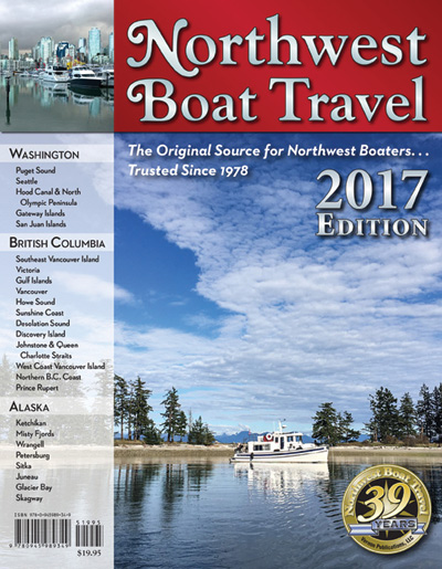
Each issue of NBT is divided into 20 chapters arranged by six sections from Shelton and Olympia, Washington, on the south, to Glacier Bay and Sitka, Alaska, on the north and includes information on both Juan de Fuca Strait and the west coast of Vancouver Island.
The layout is crisp and each chapter is prefaced by an interpretive map with numbered major destinations. Features, attractions, facilities, and services are included and identified by symbols and icons. Major destination headings include reference numbers for NOAA and Canadian Hydrographic Service charts, and most marina locations include lat/lon coordinates.
Landmarks and navigation hazards on many routes and approaches unfamiliar to visiting boaters are described using both local knowledge and anecdotal experience. These accounts are presented as an overview but not intended as a substitute for either detailed charts or sailing directions, and the personal insights encourage every boater to exercise prudence and caution. At the end of every chapter is an alphabetical list of essential services and contact information.
Located between chapters seven and eight is a 12-page section of information on customs and immigration regulations, chart sources, weather and marine parks information, communications regulations, commercial vessel traffic information, and short courses on basic boat handling and anchoring techniques. The pages immediately preceding the comprehensive index include distance tables and protocol for issuing distress communications.
Inspired as a crowdsource exercise decades before crowdsourcing was a “thing,” NBT is at once cruising guide, tourist brochure, chamber of commerce pamphlet, chart reference, and history lesson. And, for the price of a few lattes, an outstanding value that deserves a place in every boater’s wheelhouse.