We warned you last week that there would be more high wind events and the one for tomorrow looks like the real deal. As you can see from the surface forecast charts, by 0400 hrs tomorrow morning a 979 mb low with attached front will be sweeping up the coast and by 1600 hrs tomorrow will be right on top of us. The low is weakening as it comes onshore and moves up the coast.
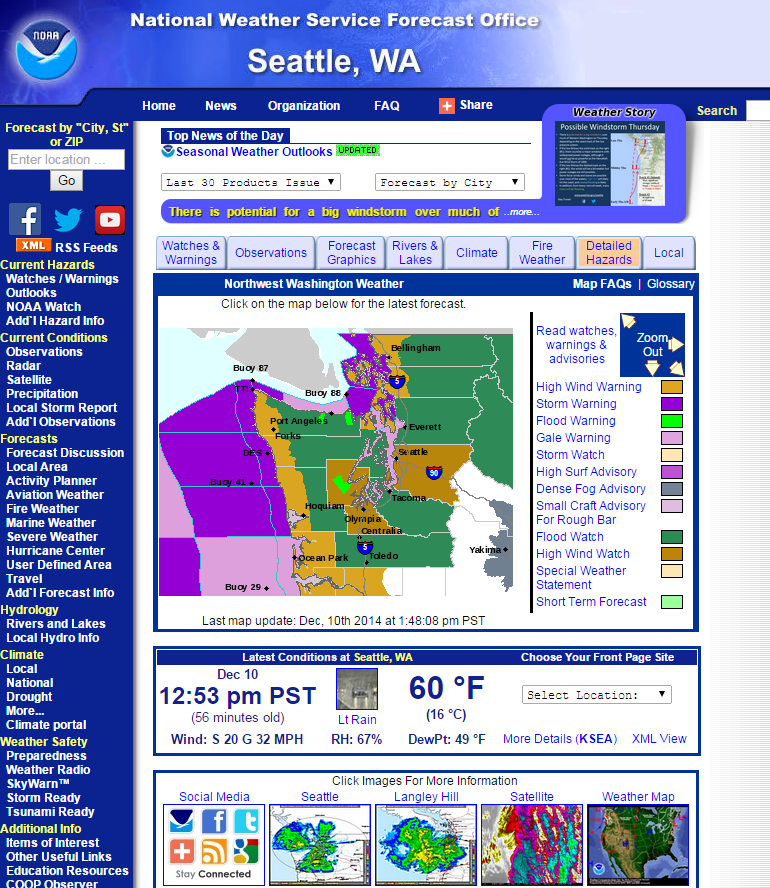
National Weather Service warning.
As you can see from charts, it will hit the coastal areas fairly hard starting in the morning. The 0700 MM5 chart shows a strong easterly flowing through the gaps in the Cascades, and then out the Straits. In the central Sound the breeze will be out of the north and then die off. By 1600 hrs, the breeze will be cranking along the south coast of Washington, the mouth of the Colombia and the northern coast of Oregon. In the Sound, it will be southerly and start slowly building from the mid-teens to the upper 30’s.
Click on any image to enlarge.


By 1900 hours the post frontal southwesterly breeze will be showing up along the coast and be in the upper 30’s to low 40’s with higher gusts. It also shows a pocket of high wind at the north end of Admiralty Inlet and Port Townsend. As the front moves through, the gradient will ease but the wind is going to stay up there especially in the north Sound and San Juan Islands and will continue through the early morning hours of Friday.


The good news in all of this is that the high tide will be in the morning and it will be a foot above normal. By the time the breeze really hits the tide will be much lower.
The usual precautions apply. Check your boat in the morning and if you haven’t taken down your roller furling sails this would be a very good time to do so. Good time to put out extra mooring lines and extra fenders and really look for areas of potential chafe.